The soil profile north of JR Allen Parkway in Columbus is nothing like what you find just a few miles south near Fort Moore. Up north you hit residual silts and partially weathered mica schist from the Piedmont, while the southern stretches along the Chattahoochee River carry deep alluvial sands and soft floodplain clays that complicate even a simple spread footing. Contractors who assume uniform conditions across Muscogee County learn the hard way that visual inspection of the stratigraphy matters before a trackhoe bucket ever breaks ground. An exploratory test pit dug to four or five feet reveals transitions between natural ground and old urban fill that a drill rig can smear or miss entirely, and in a city with 200-plus years of layered development that distinction carries real weight.
A five-foot-deep test pit on the Fall Line can reveal more about bearing stratigraphy than three borings placed thirty feet away.
Process overview
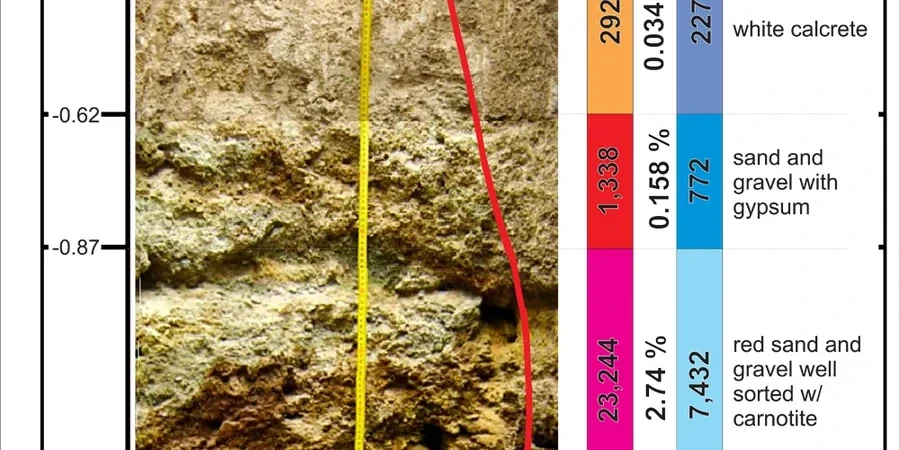
A common mistake we see with fast-track commercial builds in the Midtown area is treating test pits as nothing more than a quick look in the dirt, skipping the systematic log and the bulk sampling that the IBC actually expects when you are classifying bearing materials by visual-manual method under ASTM D2488. The pit wall is not just a hole; it is a full-scale exposure that lets the geotechnical engineer map mottling, root casts, slickensides, and the exact contact between natural residual soil and imported structural fill. Our field crew photographs every face with a scale bar, bags disturbed and undisturbed samples by depth interval, and records groundwater seepage the moment it appears. Those details feed directly into allowable bearing pressure recommendations and help the structural engineer decide whether a shallow footing system works or whether the site needs a transition to deeper support like driven piles. And because Columbus sits on the Fall Line, where the crystalline bedrock drops away beneath the Coastal Plain sediments, the contrast between weathered rock and dense sand can be abrupt enough to change a foundation design within a single lot.
Local context
A five-story mixed-use building planned near the Columbus Civic Center ran into trouble when old ravine fill, buried under forty years of surface grading, went undetected during a desk study. The fill contained decayed timber and uncompacted clay that triggered differential settlement within six months of slab placement, cracking partition walls and jamming elevator guide rails. A single exploratory test pit placed at the lowest elevation of the parking podium would have exposed the buried waste before the foundation design was locked. In Columbus, where the Chattahoochee River has shifted its channel repeatedly since the Pleistocene, abandoned meander scars and man-made fills hide at depths that only a direct visual inspection can reliably catch. When such conditions go unaddressed, the cost of remedial underpinning or mudjacking far exceeds the budget of a targeted test pit program executed at the right phase of investigation.
FAQ
How deep can you excavate a test pit safely in Columbus, GA?
Under OSHA Subpart P guidelines we typically limit vertical depth to 5 feet in Type C soils, which are common in the Chattahoochee alluvial zone. With benching or sloping to 1.5H:1V we can reach 10 to 15 feet where site geometry allows, though anything beyond 15 feet generally transitions to a drilled boring for safety and practicality.
What does an exploratory test pit cost for a typical Columbus residential lot?
A single test pit with a half-day field crew, visual log, photo documentation, and a stamped summary report usually falls between US$480 and US$790, depending on access constraints, depth, and whether bulk samples are collected for lab testing.
Do you need city permits before digging test pits in Columbus?
Yes. Columbus Consolidated Government requires a site development permit or a right-of-way encroachment permit if the pit is within the public easement. Additionally, Georgia 811 must be contacted at least 48 hours before excavation to locate underground utilities, and we handle that notification as part of our field preparation.
How soon can you mobilize a crew to a site in Columbus?
For standard projects within Muscogee County we can typically schedule field work within five to seven business days after the proposal is signed. Expedited slots are available for urgent foundation investigations, though availability depends on current project load and weather conditions.